“Better mountains can only be mountains that you have not yet been to ...”
My first time in the mountains was in the 1980s. These were the Eastern Carpathians. When she returned, she spoke only about the mountains. Tired of all your admiration. But those were the wooded Carpathians.
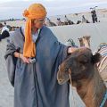
I have never been to the Caucasus. And what he, the Caucasus, really had no idea. Only geographic data from school and university programs in geography. And something from the "Prisoner of the Caucasus", which attracts with its beauties.
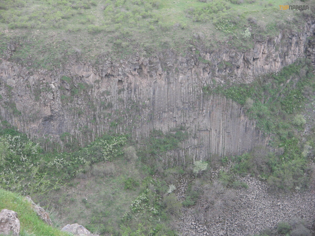
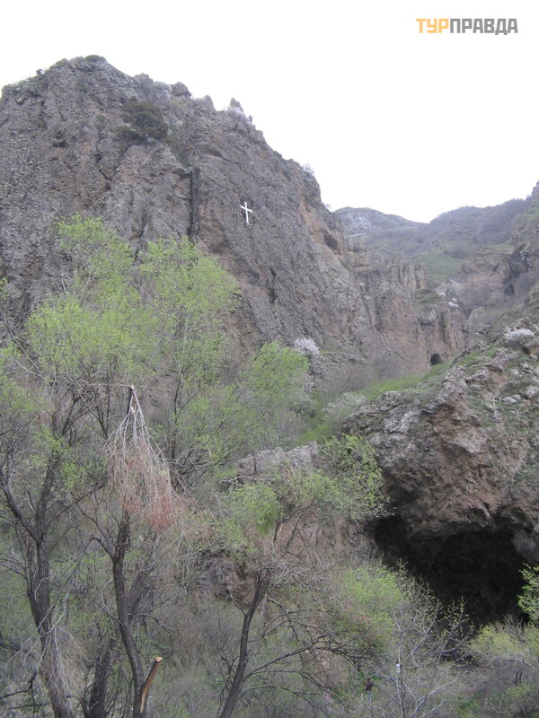
The first place in Armenia, which delighted and remembered as soon as I learned about it, was the so-called "Symphony of Stone" - basalt "organ pipes". I saw them on TV and wanted to stand next to them. Later, I saw similar formations in the photo on the Internet (for example, the famous "Pavement of Giants"). It was just that there was no reason to go to those parts. And in the film, where I saw the Armenian “pipes”, there were also churches, merging with the landscape with their stone severity, simple in architectural form and decoration. Well, the fascinating word "Urartu" from the school curriculum about the history of the ancient world. The scales clearly outweighed in the direction of Armenia.
When I started reading the only guidebook available, I realized that I was confusing or misunderstanding something. Armenia is actually no longer the high Caucasus. He stayed somewhere on the border of Russia and Georgia. And here there was a highland and it stretched to Turkey, occupying a vast territory that was Great Armenia in ancient times. I was in Turkey, the mountains of Cappadocia are amazing, but different. What then is the Armenian Highlands?
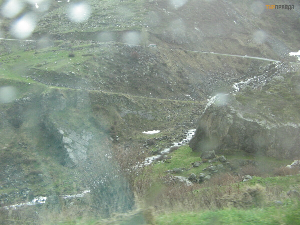
Already before the trip, I bought a map and looked it over carefully. Passes. This means that this is not a flat table; mountain ranges still rise from it. If there are 4 km in 1 cm, the road seems straight. When it became clear that I would have to drive a rented car, I crawled through the maps on the Internet and was horrified: serpentines are on the way, the roads are winding. And there are only two tunnels in the country. At that time I did not yet know that our driver was an adventurer who loved to ride on serpentines, that she was of little interest in tunnels, and therefore she would be happy to go to the pass, to bypass the tunnel. The reality turned out to be even more difficult for me: the roads not only twisted, but also disappeared from view endlessly, which is even more difficult if you are driving. (I wrote about roads in the story “Oh, roads, ” so I won’t repeat myself. )
Those who read the first part about roads asked for nature in the comments. That part disappeared from the site, had to be restored, because there are no more comments. But I, remembering the requests, will now talk about the stone. Let's call it "Ode to a Stone". I will start, of course, with natural stones. Then - about what the Armenians made of that stone. Because, having lived for many centuries on the very highlands where little grows, among very different neighbors (both in faith and in traditions), Armenians have learned to masterfully work with stone.
Again and again, I will move along the route drawn on the map from the atlas, but the stops will be different , depending on the theme.
In the first part I will try to show and tell about the mountains and passes that we saw. And I will describe some of the points where we stopped for photo pauses.
I'll tell you a legend about mountains.
Once years were giant brothers. In the morning they woke up, tied green belts and hugged, greeting each other. At the same time, tears welled up in their eyes with joy. Centuries passed, the brothers grew old and could no longer get up early. One day they forgot to tie their belts. Then they began to forget and hug, waking up. God was watching them and thought it best to turn them into immovable stones. And of the giants, after all, there will be not just stones, but very large stones - mountains. In the end, he did just that: he turned the giants into mountains with the mandate to protect the country from enemies who would ever come here. The green belts of the brothers turned into forests, and the tears in their eyes became springs that give rise to rivers running down from the mountains.
So. We took a car in Zvartots. The young man who drove her to the airport asked for a ride closer to Yerevan. According to our plans, we had to go in a different direction. Now, having wandered around the outskirts of Yerevan, they got out onto the highway leading to Ashtarak and further to Gyumri, which was called Leninakan in Soviet times, and in the 19th century it had a different name. In Ashtarak we turned onto the M3 leading to Stepanavan.
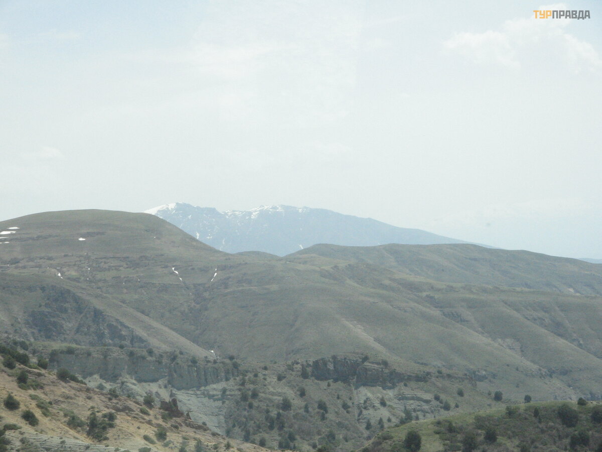
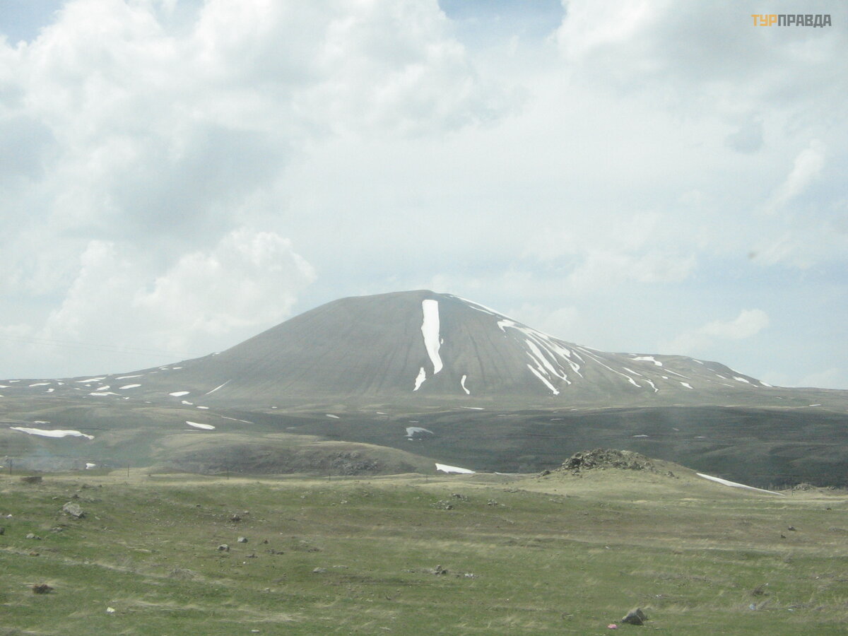
As we flew up to Zvartots, we saw a mountain. Not even a mountain, but a mountain. It was all snowy, Aragats. Here, having left on the Yerevan-Gyumri road, we drove straight to it. It glittered majestically ahead. On the right, an Armenian film studio rushed past, but it didn’t occur to anyone to slow down there, because. Aragats fascinated and attracted us. This is the highest mountain on the territory of modern Armenia: more than 4 thousand meters. In fact, this is not a lonely standing mountain, but a certain group. Roads respectfully bypass these places from different sides: you can get to Gyumri only by going around Aragats from the south or from the north. Other roads climb a little into the mountains, but get lost somewhere before reaching the top.
 somewhere on the slopes of Aragats (it's snowing)
There is also a legend about Aragats.
Once the Assyrian queen Semiramis fell in love with the Armenian king Ara the Beautiful. She wanted to marry him to herself. But Ara was married, so he sent the queen's gifts back. Semiramis was furious, declared war on Armenia, but ordered to take the king alive. Her subjects disobeyed the order, mortally wounding him. The decisive battle took place in the valley between present-day Ararat and Aragats. The Armenians, having learned that their king was wounded, decided to save and hide from the enemies his throne, carved from a plane tree and decorated with precious stones. Where is the best place to hide it? In the mountains. They took the throne to the top of Aragats. And today, Armenians remember both Ara and his throne, and, looking at Aragats, they whisper: “Arai Gakh. ” This is how the name of Mount Aragats originated.
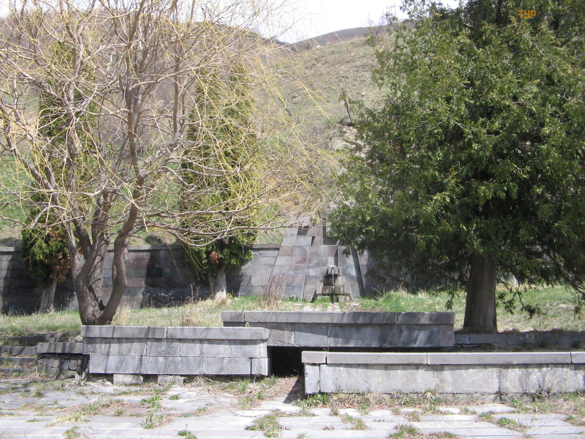
At the foot of Aragats, on one of the small roads lost somewhere in the mountains, you can see the buildings of the Byurakan Observatory, where you can go on an excursion. On the other road leading to Aragats, which departs from the M3, against the backdrop of the mountain, another monument to the Armenian alphabet has recently been erected. From above, the only nuclear power plant in the country, Metsamor, is visible from the slopes. But it stands on the highlands, closer to the Araks.
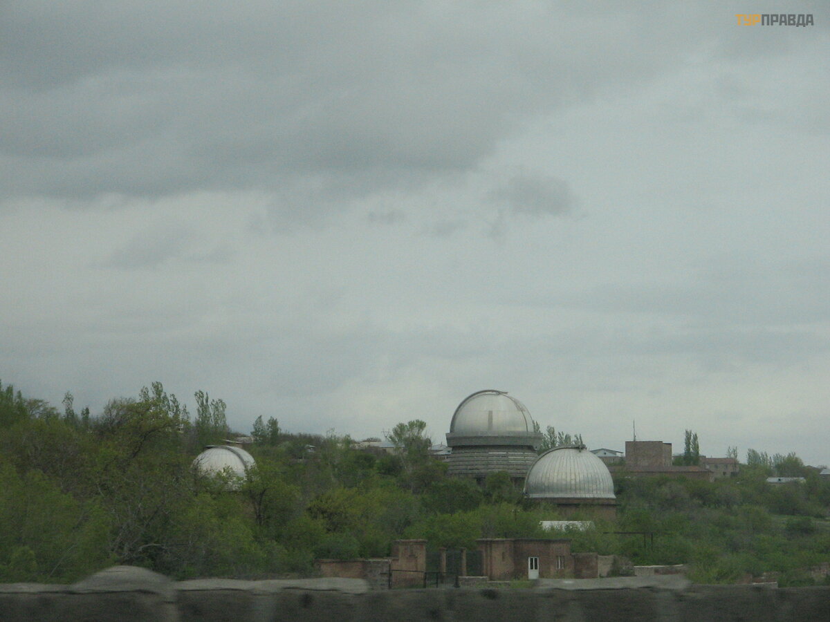 Byurakan Observatory
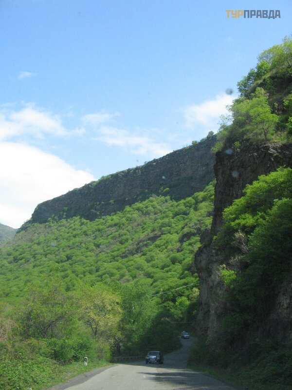
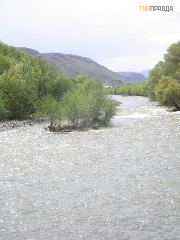
The road from Ashtarak runs along the Kasakh River, which flows into the gorge, far down to the right of the road. We stopped at two monasteries standing on a cliff. The gorge is amazing. There is a reservoir on the river - Aparan. On the opposite side rises the Tsaghkunyat Range.
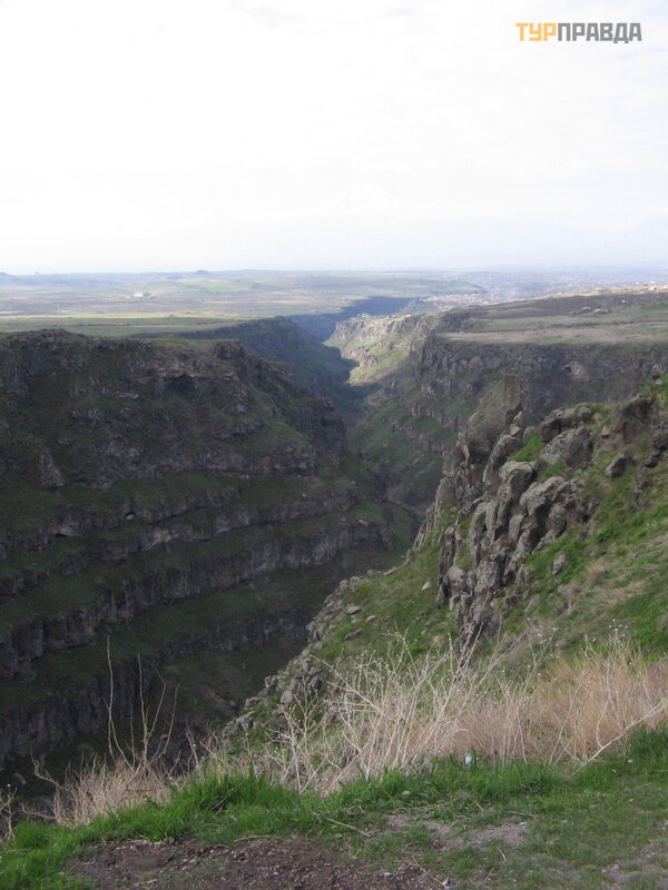 Kasakh river gorge
Further on, the road rises to the mountains, crossing the Pambak Range through the Spitak Pass. Here, almost at the fork leading to Gyumri or Vanadzor (the second and third largest city in the country) is Spitak. Those who lived in the USSR will remember the terrible Spitak earthquake (sometimes called the Leninakan earthquake), which killed about 25 thousand people in just a few minutes on a December morning in 1988. (Half a million were left homeless). Its epicenter was the completely destroyed Spitak [3]. The power of the natural elements reached 9-10 points (on a 12-point scale).
We stopped to go to the cemetery. The car was left at the monument, apparently destroyed almost completely by that earthquake. There are whole strings of monuments to the dead families in the cemetery (in those years there were still many children in the families). A terrible sight. Nearby stands a more than strange for Armenia, where everything is built of stone, a church made of metal.
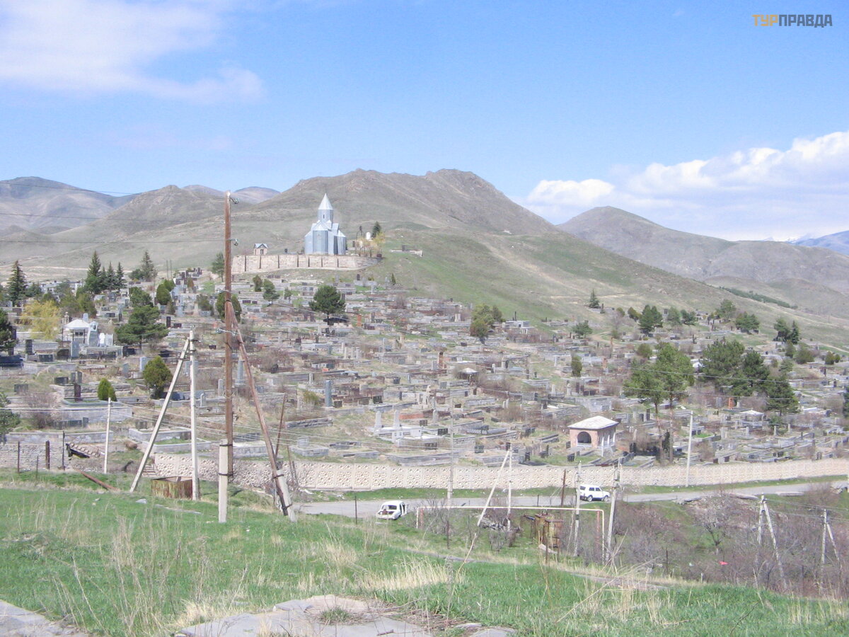 Cemetery in Spitak
Due to the risk of an accident, the nuclear power plant in Metsamor was then stopped. This earthquake was the impetus for the formation of the current Ministry of Emergency Situations. Now part of the power plant is working, but after the Japanese accident, many demand its complete closure.
 The pipes of Metsamor are visible from the slopes of Aragats
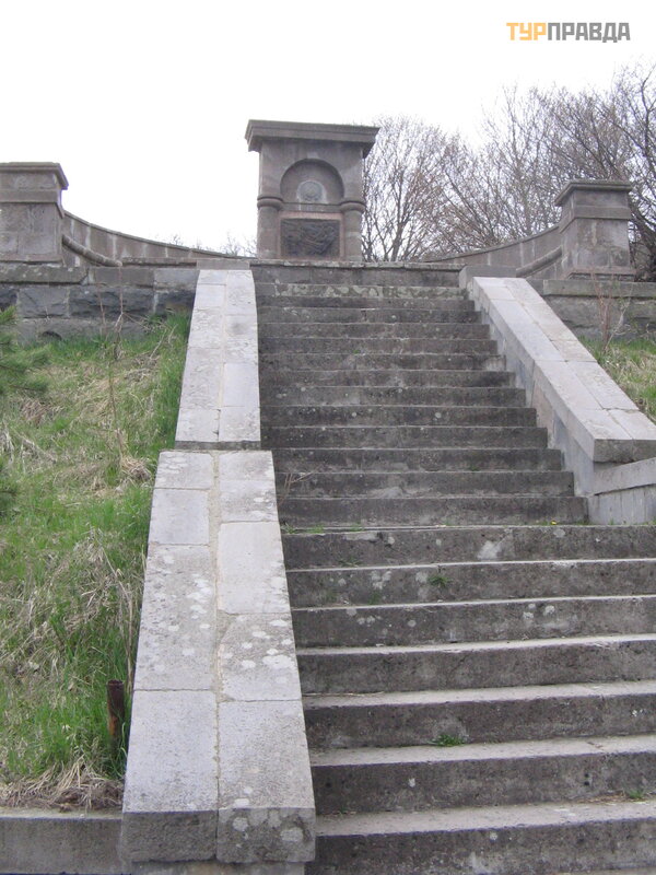
The road to Stepanavan crosses the Bazum Range through Pushkin Pass [4]. It was named so because Pushkin, who was going to Erzurum, met the body of Griboedov, who was killed in Tehran, here. The artist Saryan depicted the meeting of two Alexandrov Sergeyevichs on a bas-relief.
 Monument on the south side of Pushkin Pass
We have been looking for a monument with that bas-relief on both sides of the pass for a very long time, talking with the locals. In the photo of the 70s, what is located on the south side looked different. Locals said that at first the monument was on the pass. Then he was lowered down to the entrance to the tunnel. Today, on the southern slope are the ruins of the former, lowered monument. The spring is still flowing (there are many springs in the country from which they drink water), but the pond with fish is no longer nearby. Perhaps, along with the repair of the road on this side of the pass, the monument will also be repaired?
 Monument on the north side of the Pushkin Pass (recently installed)
Next, we drive past the famous arboretum, founded by a Pole who fell in love with these parts. We didn’t have time for it, so I can’t say what it looks like. It is located to the right of the road, a few kilometers from the M3.
We pass Stepanavan, cross the bridge over the Dzoraget River in the city and turn off the M3 onto the regional road to the Lori bird fortress [5]. They say people go to the river for rafting. If you look down from the edge of the gorge (and it is very deep), then the river seems like a small stream and raises great doubts about such a possibility. Perhaps we didn’t see the area from above where you can raft? Or is it so high that the river looks like a stream?
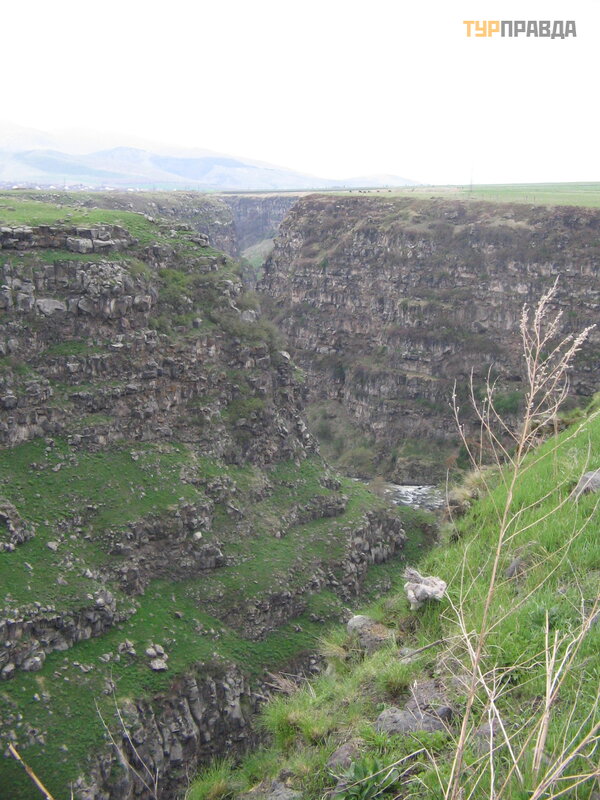 Dzoraget river gorge at the confluence of another river
We are driving along the plateau, the road winds along the mountains on the left, on the right the Dzoraget gorge stretches all the time. Then the road moves away from the gorge, we turn left and drive along the M6 to Tbilisi. True, our road goes about 1000 meters higher than this route, and the railway running along it, and the Debed River. And Dzoraget flows into the Debed River, which will accompany the M6.
 Odzun Monastery
We descend from Odzun [6] down, cross the M6 to Alaverdi and climb the mountains to the Sanahin monastery [7]. On the map on the Internet there is a road from Sanahin to Upper Haghpat, but the locals advised us to go down the M6, drive along it and climb the mountains again. On the M6 road, we first reached the ascent to Haghpat [8], and the next day we reached the Akhtala monastery [9]. Then they turned in the opposite direction.
 M6 Yerevan-Tbilisi road
We return back through Dilijan, which is located in the national park of the same name. The north of Armenia is considered its greenest part. There are many hiking trails here.
Having briefly examined Goshavank [10] and Haghartsin [11] due to bad roads, we arrive in Yerevan [12] past Lake Sevan.
Further, our way from Yerevan, already with a group and on a minibus, goes south past Mount Ararat, which, however, is today in Turkey, like the neighboring steam mountain. The Armenians call the first one Masis (Great Ararat), and the second - Sis (Small).
There is a legend associated with this pair.
There is a lake on the top of Small Ararat. It is called the goddess Anahit, because it is associated with her. Anahit - the goddess of fertility and productivity - fell in love with Mount Ararat. She spent the nights on its slopes, whispered words of love to him, at dawn she covered his slopes with caresses hotter than the days in the Araks valley. But her love was unrequited. The silence of Ararat ruined Anahit, tore her heart. Once Anahit went to the top of Small Ararat. There, in the fog, she turned to her beloved Ararat. The words escaped her lips, but did not reach his ears. Ararat remained indifferent and cold. In desperation because of the rejected love, Anahit knelt down and began to cry. She cried so long that a lake formed on the top of Little Ararat.
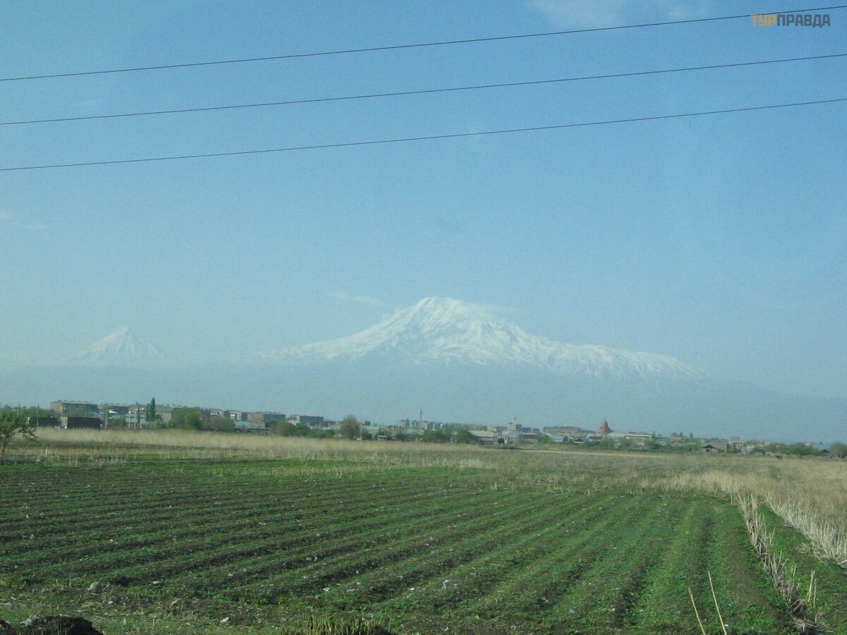 Great and Small Ararat
Mountains in the country constantly change their appearance, are covered with clouds. Approaching Khor Virap [13] from the bus, I photographed Ararat (together with the monastery). While we were in Khor Virap, Ararat "disappeared" behind the clouds. Therefore, the postcard look of all the albums "the monastery against the backdrop of Mount Ararat" did not work out. Ararat is like a woman: capricious and fickle. So the legend of his male coldness is not very compatible with his inconstancy and whims. It can be seen from Yerevan, through the arch of Chirents [26], from Mount Aragats, in the distance of the Kasakh gorge. But. . . we didn't see him at any of those spots.
We drive further to the southeast past Nakhichevan to Vayotsor. Once all this territory was called the Principality of Syunik. And it reached Sevan in the north.
The so-called Cave of Birds is located in Areni [14]. Here they found a shoe that is several thousand years old. A shoe in good condition, like a moccasin, is now in the Historical Museum in Yerevan. Excavations are ongoing in the cave. But tourists are allowed there in compliance with safety regulations.
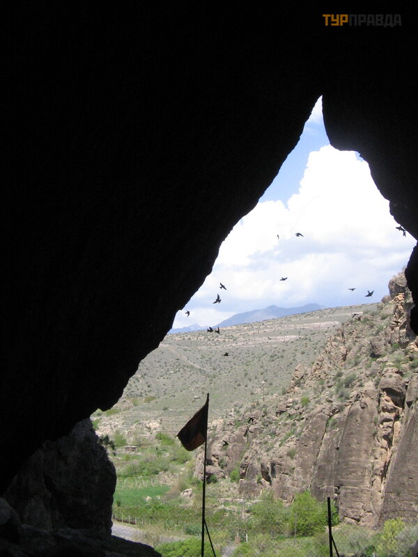 Bird Cave (inside view)
We drive along the gorge to Noravank monastery [15]. Often there are pink rocks, the churches and khachkars of Noravank are built from such pink tuff.
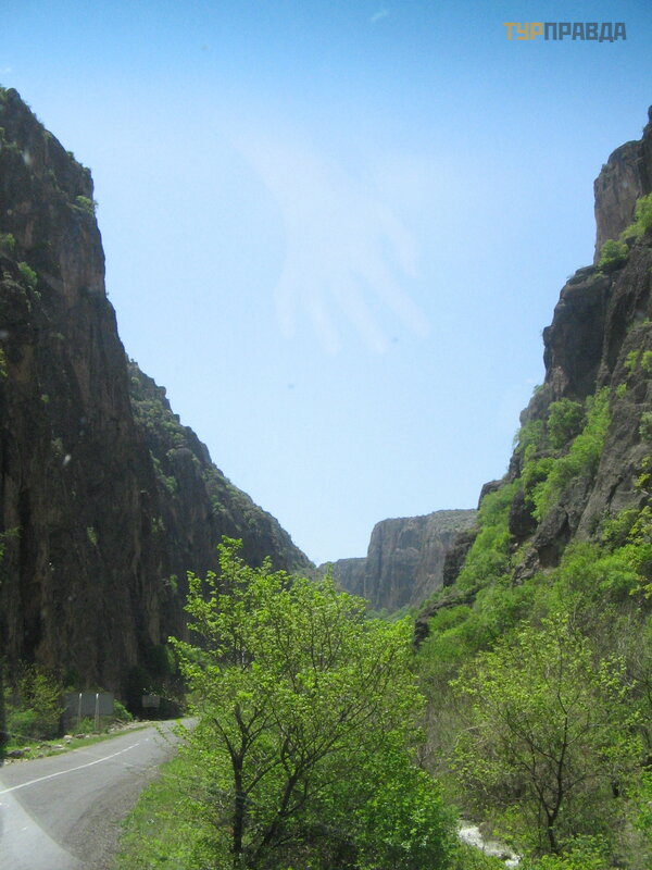 road to Noravank Monastery
Our path lies along the Arpa River, the waters of which are now transferred to Lake Sevan through the Vorotan-Arpa-Sevan conduit. its level has decreased significantly due to the use of its water for irrigation in the Ararat valley. And on the Hrazdan River flowing from Sevan, they also planned to build a cascade of hydroelectric power stations. Today they have become CHP. But the water level is still poorly regulated.
 Arpa River
Next we drive to Tatev Monastery [16]. However, in our case, it’s worth writing “flying”: we have tickets for the cable car, which crosses the gorges below, passes over the “new”, but abandoned monastery and ends in the “old” one.
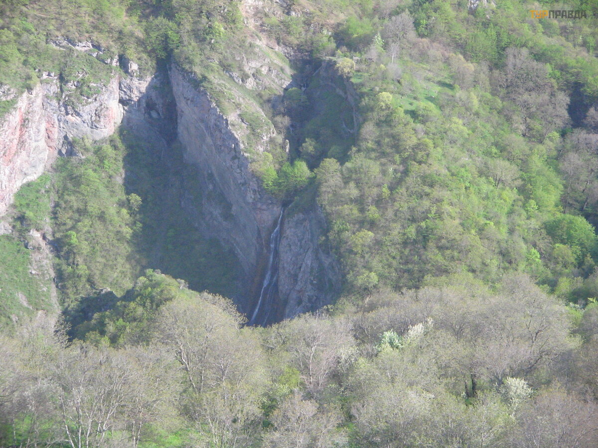 waterfall in the mountains near Tatev
We spend the night in Goris [17]. In the vicinity, cave villages have been preserved, in which people permanently lived in the 20th century. They climbed into their homes on rope ladders. And the roofs of one house were the yard of the house above. Now these caves are still used, but rather for economic purposes. True, there are projects to arrange hotels in such dwellings.
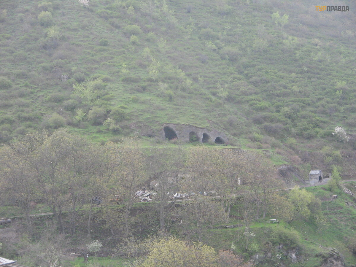 mountains in Goris; visible holes are caves in which people either lived or are still used for economic purposes
We are turning northwest, in the opposite direction. We stop in Karahunj or Zorats Karer [18]. To the north of it, in the mountains, there are petroglyphs in the mountains. However, there are petroglyphs all over Armenia. Only a few guides know their whereabouts.
We cross the Vorotan Pass in the opposite direction through the Zakhuryan Range, going from Nagorno-Karabakh (Artsakh in Armenian) to Nakhichevan and further along the border with it. Near it is the Spandaryan Reservoir [19] on the Arpa River.
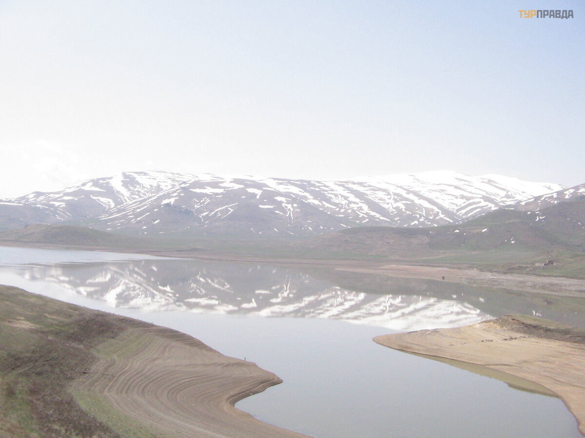 Spandaryan Reservoir
We drive through the Vardenyats (or Selim) pass to Lake Sevan. We stop at the pass [20]. One of the roads of the Great Silk Road passed here.
 ascent to the Vardenyats (Selimsky) pass
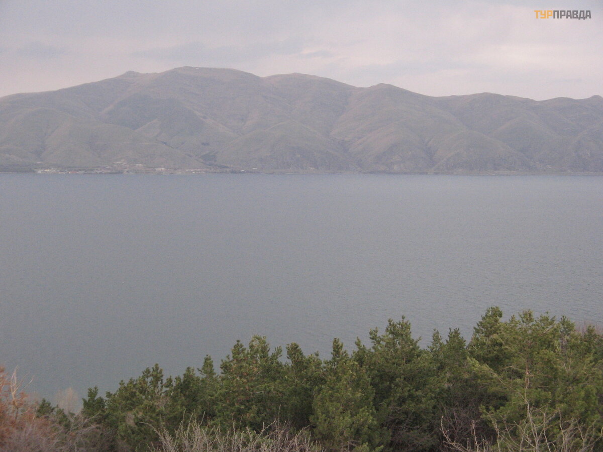
Then we descend to Lake Sevan [21], once called the Geghama Sea, passing through the Vardenyats Range.
 Gegham Range
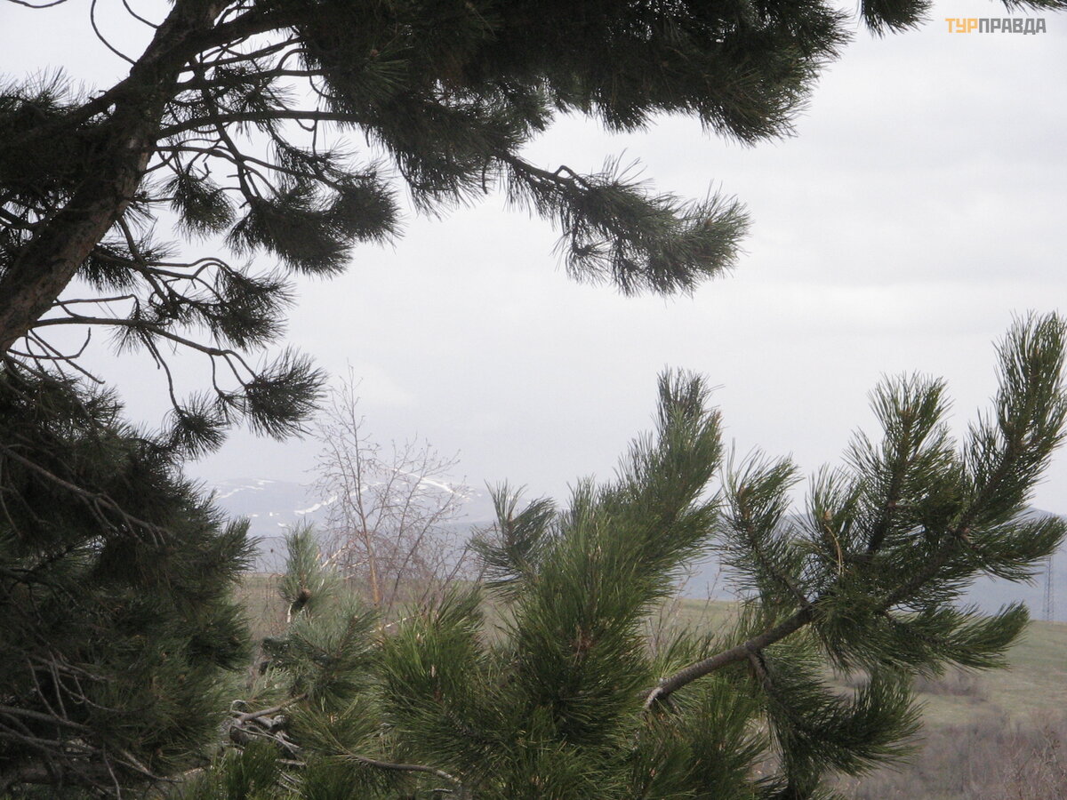
We drive along the southern shore of the lake. In some place, pine forests suddenly appear. This is my favorite tree. But how sad they are: there is rubbish between the trees.
There are several legends about Lake Sevan. Here is one of them.
Once upon a time, the giant Sevan lived on the shore, a descendant of Hayk, the forefather of the Armenians. He was brave, was known as an excellent swimmer, spending almost all his time on the lake. As soon as the enemy appeared on its shores, he rushed into battle, his arrows knocked them down, drowned them in the lake or confused them. Therefore, the lake was named in his honor "Sevan".
We arrive at the Sevanavank monastery [24]. Mainly cloudy. It's raining. But when it ended, a rainbow appeared over the lake.
 Lake Sevan
Let's go to Tsaghkadzor [25], which is located on the slope of the Tsaghkunyat Range (to the east of the Kesakh River, which was discussed at the beginning). This place is a ski resort. Here we spend the night.
 in the mountains near Tsaghkadzor
And again I will tell the legend. Now about Tsaghkadzor. "Dzor" means "gorge". All the names of places with such an ending are in the gorges.
The name of the goddess of beauty was Astghik. She was so beautiful that sometimes she herself was afraid of her own reflection in the water. And everyone who met on her way immediately turned around and followed her shadow. It so happened that Astghik captured the heart of the iron giant. The poor giant lost his peace, waiting for her to appear in the garden in the morning. One day, the goddess, wrapped in a cape of flowers, was enjoying the singing of birds in the garden and saw a giant hiding. Frightened, she started running away from him. He ran after her. The giant almost overtook her, but Astghik's friend, the goddess of chastity Nane, advised her to throw off her cape. She did just that. Nane wrapped the cape in mist. When the fog dissipated, there was a flower valley in the place where Astghik threw off her cape. Tsakhkadzor literally translates as "gorge of flowers".
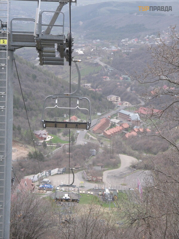 lift (Tsaghkadzor)
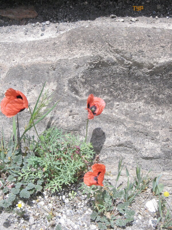 poppies in Zvartots
And then we will drive a couple more times through Ashtarak and on the slopes of Aragats [31], first under the snow, and then in the rain we will look at the rainbow over Yerevan.
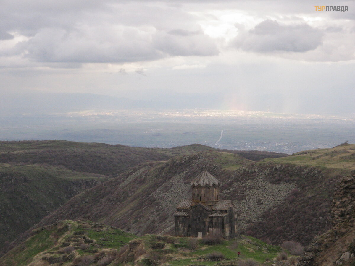 Yerevan and Ashtarak in the Ararat Valley (view from the slope of Aragats)
There are many mountains in Armenia. Mountains are different. And although they have been standing for a long time, they are constantly changing: they are destroyed by earthquakes, different types of vegetation bloom on them at different times of the year, and they look different at different heights and on different slopes.
")
")

 Бюраканская обсерватория (4549)")


")

")


")
")


")


")
")
")


